Travel Planning Tools
Travel Planning Tools
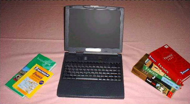
Even with detailed directions, you should still have a good map. My favorites are the great highway maps from Michelin. These come in different scales, ranging from a single map covering all of western Europe to very detailed maps of certain very popular areas such as the French Riviera. In between, there are maps covering each country and maps covering regions within countries.
While the country maps provide adequate detail of the autoroutes (analogous to our interstate highways) and national roads (analogous to our U.S. Highways), I prefer the regional maps because they provide good detail of the European equivalent of our state and county roads. The scale of Michelin's country maps is about one inch to 15 miles. The scale of regional maps is about one inch to three miles.
Michelin Red Guides are available for almost all the countries in Western Europe. For larger countries, like France, there is a dedicated guide. For smaller countries, the guide may cover more than one country, such as Spain and Portugal. The Michelin Red Guide provides basic maps of every city and town of appreciable size in the covered area. Between the Michelin regional maps and the Michelin Red Guide you can easily find your way around any part of western Europe. As a bonus, the city maps in the Red Guides show the locations of many of the better hotels and restaurants in the city.
Another useful web site is www.raileurope.com. It offers information on various types of rail passes available for purchase. It also allows one to search a database of rail schedules and fares for individual trip purchases.
Copyright 2001 Harry B. Rowe